STOCK IMAGE LIBRARIES

Aerial Photography
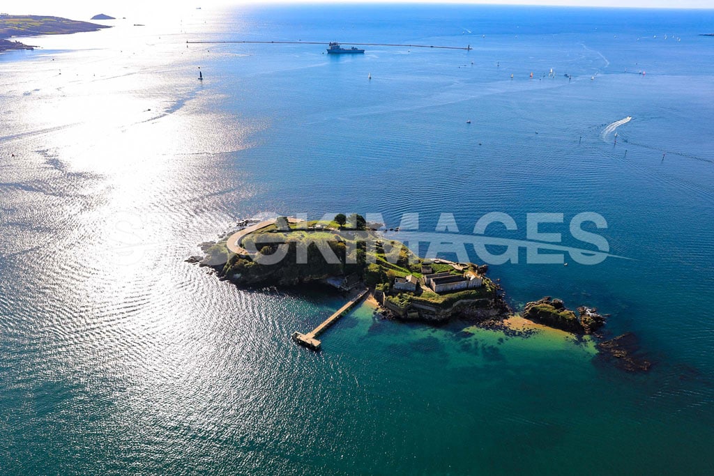
IMAGE ID: SI_548_0J7A2953
LOCATION: Drake’s Island, Plymouth
Aerial image of Drake’s Island, Plymouth, with sun shimmering on the surrounding blue water and Plymouth Breakwater in the background.
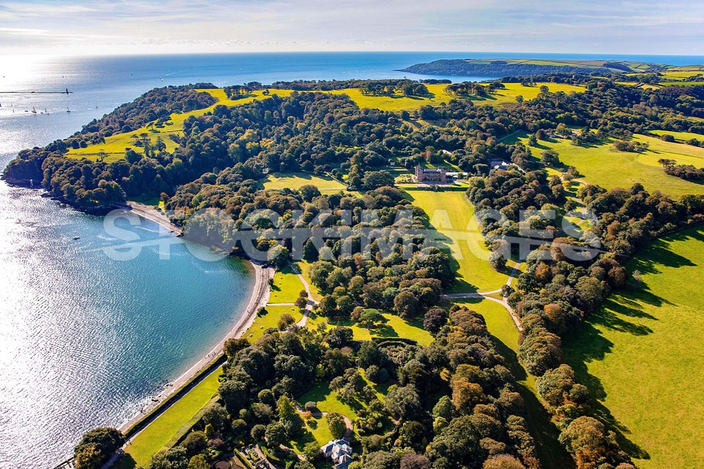
IMAGE ID: SI_547_0J7A2940
LOCATION: Mount Edgcumbe, Plymouth
Aerial image of Mount Edgcumbe in its beautiful setting on the South Devon Coastline.
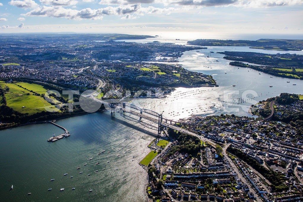
IMAGE ID: SI_574_0J7A3154
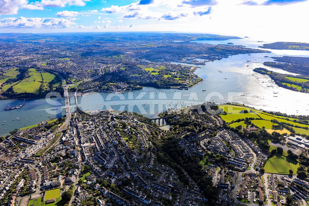
LOCATION: Plymouth Tamar Bridge, Devon
Aerial image of the Tamar Bridge in Plymouth, Devon, against the sun shining on the water with a long-distance view out to sea.
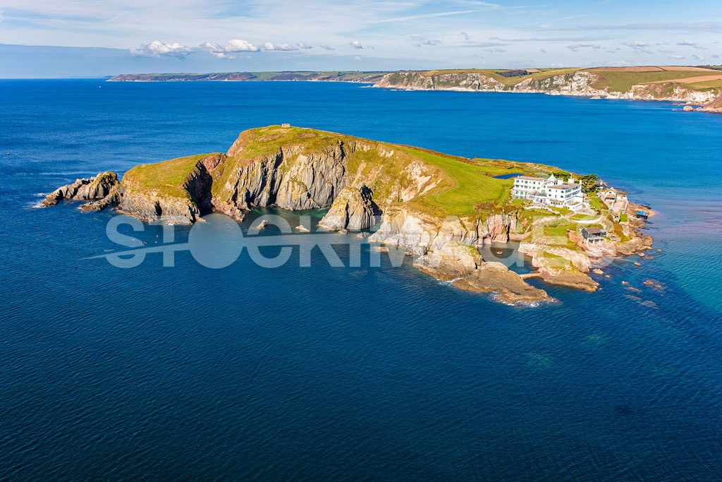
IMAGE ID: SI_537_0J7A2798
LOCATION: Burgh Island, Devon
Aerial view of Burgh Island isolated in the surrounding high tide and vibrant blue sea, showing the front of the popular Burgh Island Hotel in the Summer.
IMAGE ID: SI_549_0J7A2971
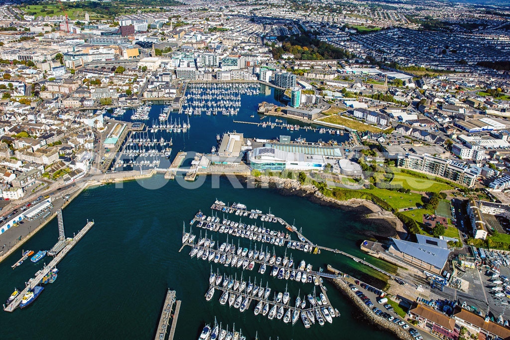
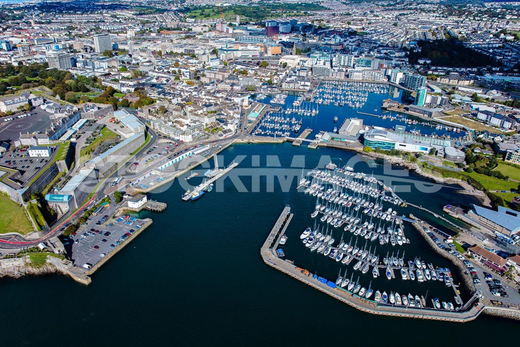
LOCATION: Plymouth Marinas, Devon
Aerial image of a stunning close view of Plymouth Boatyard & Marina, Sutton Marina, The Barbican, and National Marine Aquarium.
IMAGE ID: SI_545_0J7A2867
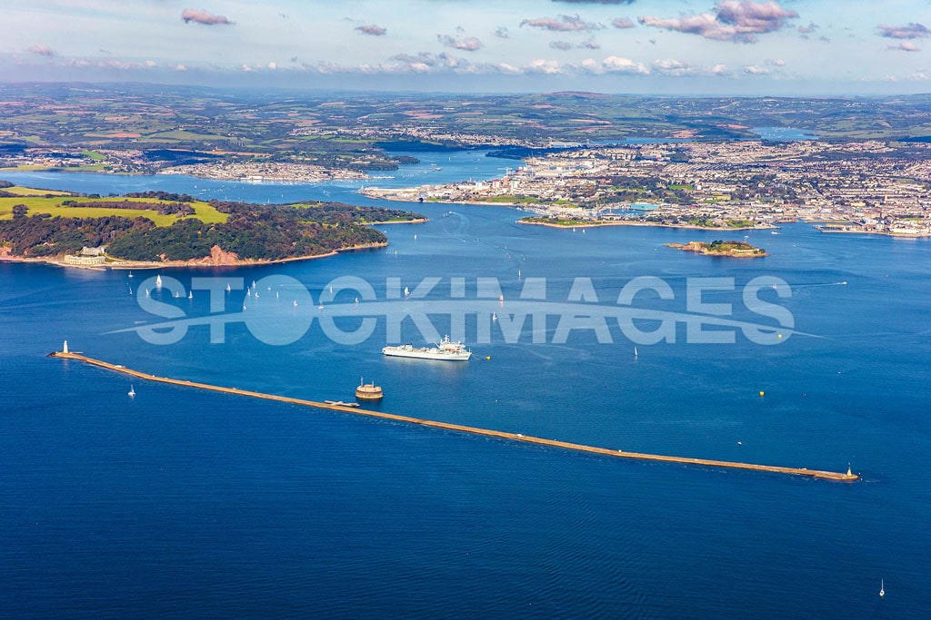
LOCATION: Plymouth Breakwater, Devon
Aerial image of North Westerly view looking at Plymouth Breakwater, Drake’s Island and the Tamar Bridge in the distance.
IMAGE ID: SI_555_0J7A2993
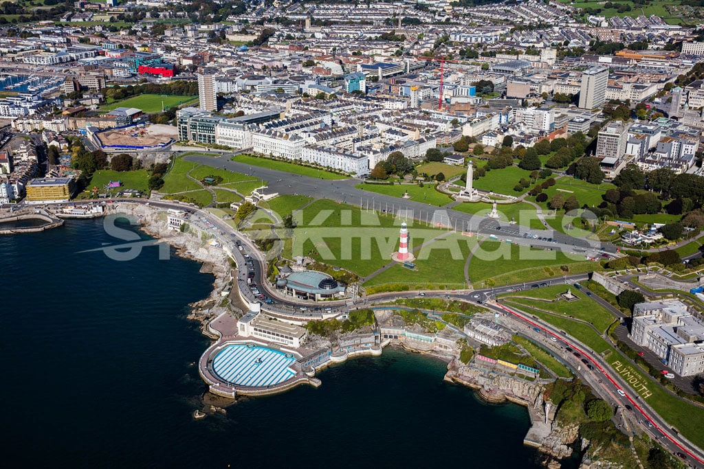
LOCATION: Plymouth Hoe, Devon
Aerial image of the Hoe at Plymouth, Devon, and the public green by the waterfront.
IMAGE ID: SI_539_0J7A2819
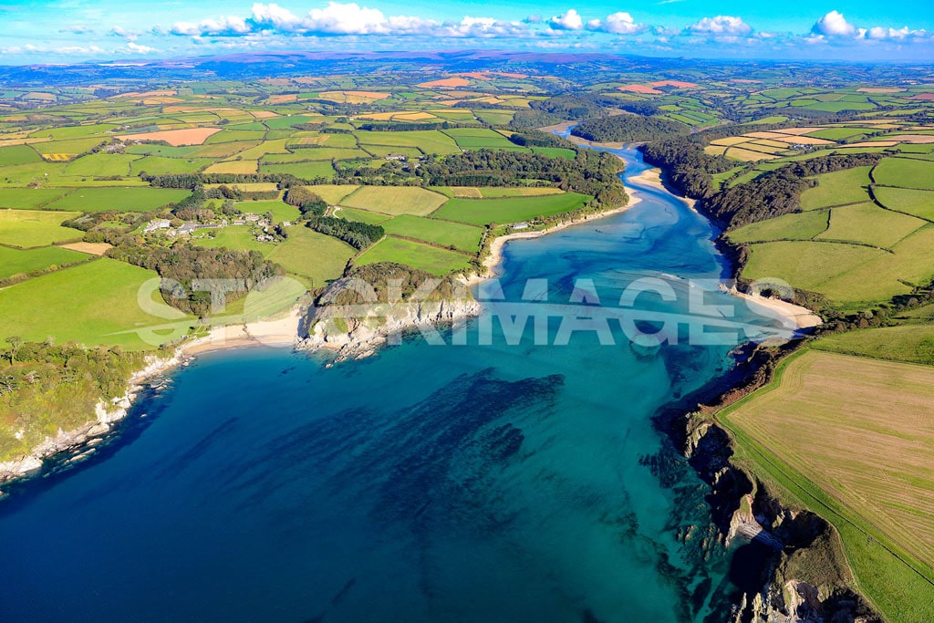
LOCATION: The River Erme
Aerial image of the entrance to the River Erme and the crossing points on the South West Coast Path – AONB.
IMAGE ID: SI_543_0J7A2856
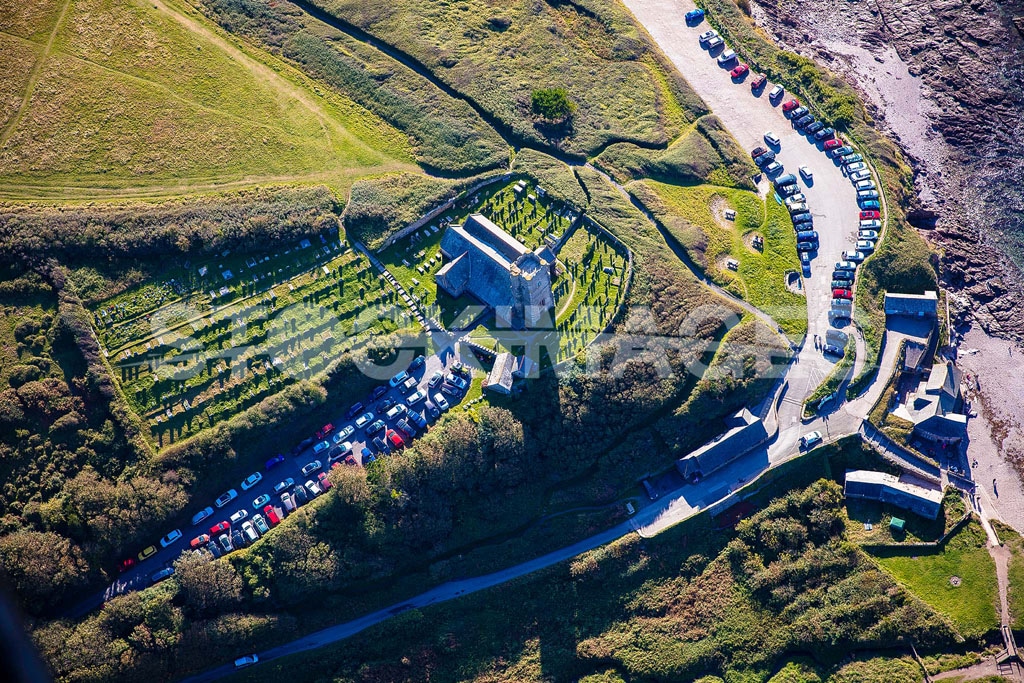
LOCATION: Saint Werburg’s Church, Wembury
Aerial close-up image of Werbug’s Church at Wembury, Plymouth.
IMAGE ID: SI_573_0J7A3146
LOCATION: Plymouth Tamar Bridge, Devon
Aerial image of the Tamar Bridge in Plymouth, Devon, against the sun shining on the water with a long-distance view out to sea.
IMAGE ID: SI_552_0J7A2981
LOCATION: Plymouth Marinas, Devon
Aerial image of a stunning close view of Plymouth Boatyard & Marina, Sutton Marina, The Barbican, and National Marine Aquarium.
IMAGE ID: SI_541_0J7A2848
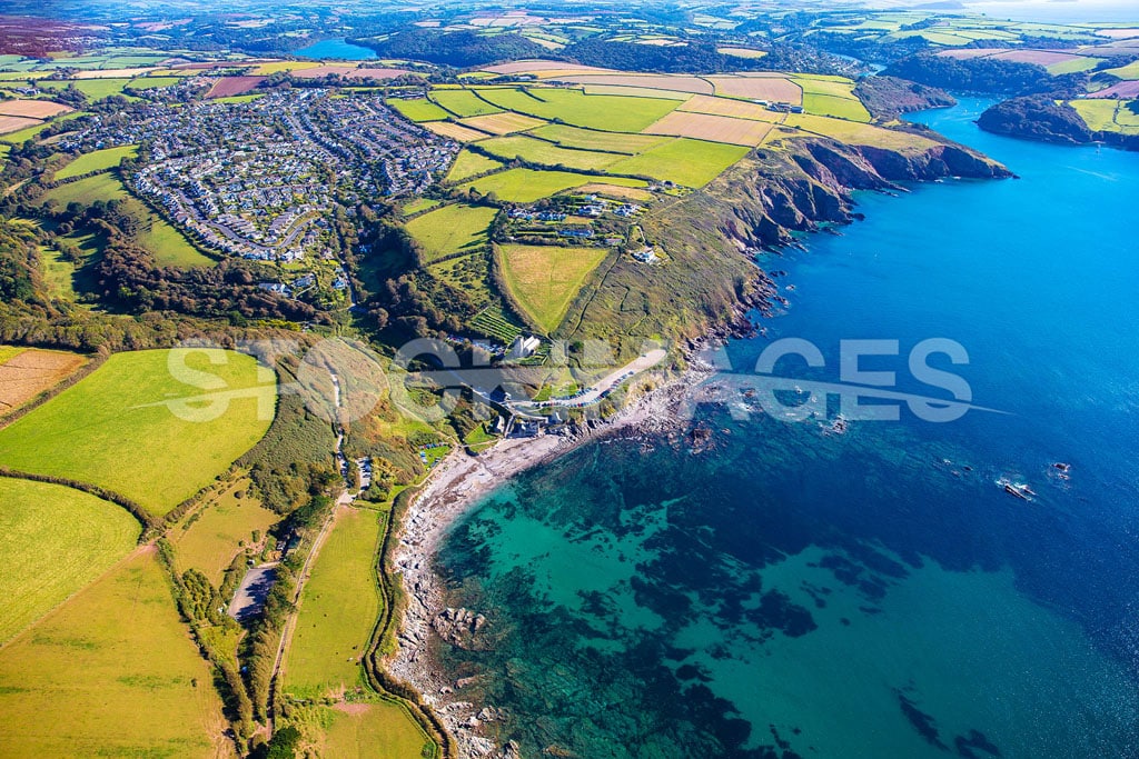
LOCATION: Wembury Beach, Plymouth
Aerial image of Wembury Beach Plymouth showing the stunning coastline to the east towards the river Yealm.
IMAGE ID: SI_538_0J7A2818
LOCATION: The River Erme
Aerial image of the entrance to the River Erme and the crossing points on the South West Coast Path.
IMAGE ID: SI_550_0J7A2976
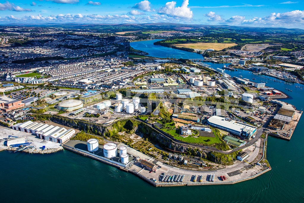
LOCATION: Cattledown Wharves, Plymouth
Aerial image of the Plymouth Cattledown Wharves and Industrial Complex.
IMAGE ID: SI_544_0J7A2860
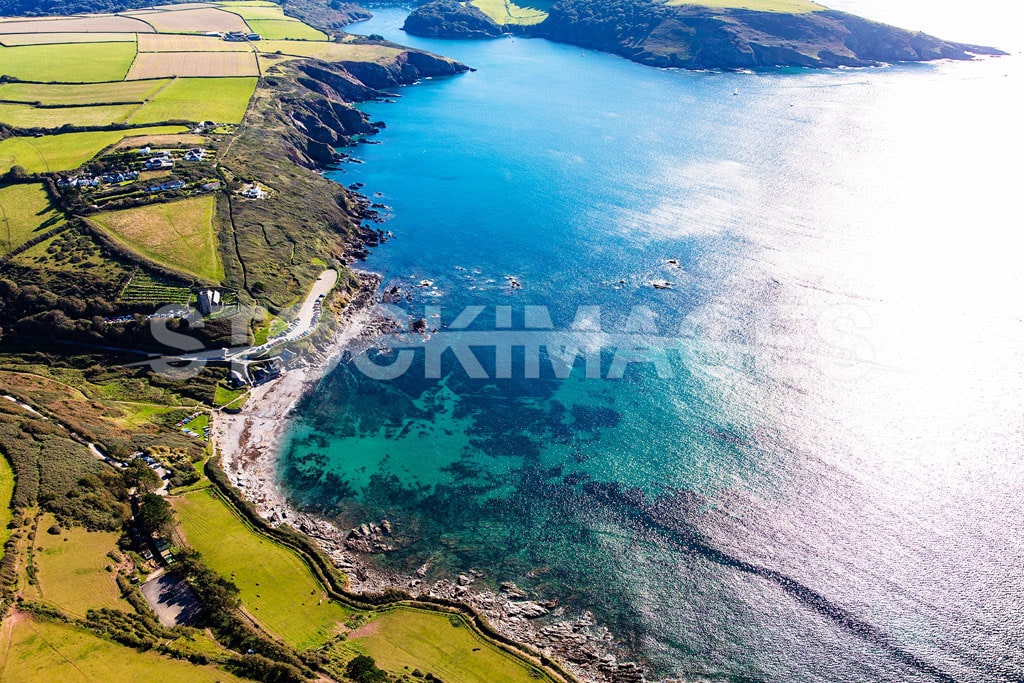
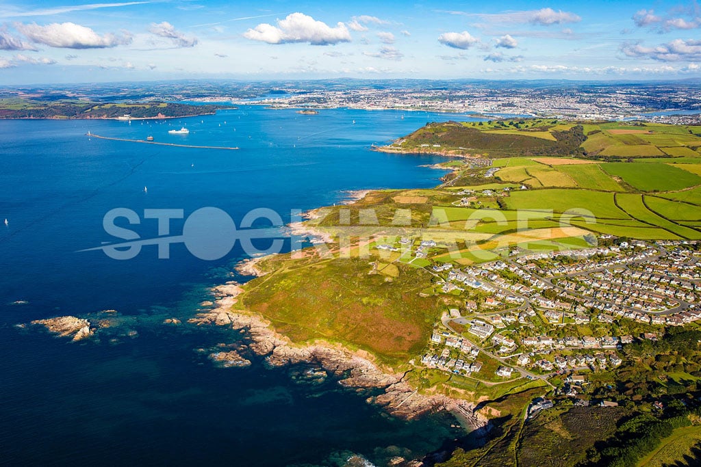
LOCATION: Heybrook Bay, Plymouth
Aerial image of Heybrook Bay, Plymouth, with Renny Point and Plymouth in the background.
IMAGE ID: SI_540_0J7A2841
LOCATION: Wembury Beach, Plymouth
Aerial image of Wembury Beach Plymouth showing the stunning coastline to the east towards the river Yealm.
Permission Request Form
Please use the form below to enquire and apply for image use:

